
When farm challenges grow, smart tools need to grow with them.
Updated
January 8, 2026 6:32 PM
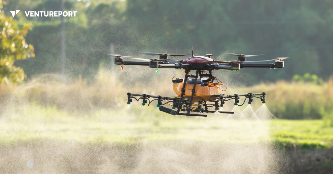
A drone spraying water over an agricultural field. PHOTO: FREEPIK
Farms today are under pressure. Fields are getting bigger, workers are harder to find and many jobs still rely on long hours of manual labor. XAG’s new P150 Max agricultural drone is designed for exactly this reality. Instead of replacing farmers, it takes over the heavy, repetitive fieldwork that slows them down, making farm operations more efficient and more precise.
The P150 Max is built around one simple idea: a single machine that can handle multiple farming tasks. Most farm drones focus only on spraying or mapping, but this one is fully modular. With a quick switch of attachments, it can spray crops, spread seeds or fertilizer, map fields or transport supplies. This flexibility helps farmers keep up with changing tasks throughout the day without needing different machines, improving both productivity and cost-efficiency.
A key challenge in agriculture is that fields are rarely smooth or predictable. Tractors can get stuck, smaller drones can’t carry much and some areas—like orchards or hilly plots—are simply hard to reach. The P150 Max fills that gap with an 80-kilogram payload and fast flight speed, letting it cover more ground per trip. Fewer takeoffs mean less downtime and more work completed before weather or daylight cuts operations short.
When it’s time to spray, the drone uses a smart spraying system that allows farmers to adjust droplet size based on the crop’s needs. This matters because precise spraying reduces waste and improves targeting. With an output of up to 46 liters per minute, the drone can serve both large open fields and dense orchards where consistent coverage is traditionally difficult.
The spreading system applies the same logic. Instead of dropping seeds or fertilizer unevenly, the vertical mechanism spreads material smoothly and resists wind drift. This ensures uniform application across irregular or hard-to-reach land—an ongoing challenge for modern farms aiming for higher yield and better resource use.
Another everyday issue for farmers is understanding and surveying the land before working on it. The P150 Max helps here with a built-in mapping tool that covers up to 20 hectares per flight and instantly converts the images into detailed maps. With AI detecting obstacles like trees or irrigation lines, the drone can plan safe and efficient autonomous routes, reducing manual planning time.
Beyond spraying and spreading, the drone can transport tools, produce and farm supplies using a sling attachment. This is particularly helpful after heavy rain, when vehicles cannot easily move across muddy or flooded fields.
Under all these functions is XAG’s upgraded flight control system, which provides centimeter-level accuracy even when network signals are weak. Integrated sensors—including 4D radar and a wide-angle camera—help the drone recognize hazards such as poles and wires. Farmers can manage all operations through the XAG One app or a handheld controller, both of which automatically generate the best route based on field shape and terrain.
Since long field days require long operating hours, the fast-charging battery system can recharge in about seven minutes using a dedicated kit. This supports continuous drone use throughout the day with minimal interruptions.
After years of testing, the XAG P150 Max is essentially an effort to make practical, scalable farm automation more accessible. By combining spraying, spreading, mapping and transport into one heavy-duty platform, it offers a way to ease labor shortages while keeping operations efficient and sustainable. Instead of focusing on one task, the drone aims to take over the time-consuming physical work so farmers can focus on decisions, planning and crop management.
Keep Reading
From AI love affairs to cosmic survival, 2026 has it all.
Updated
January 8, 2026 6:28 PM

A man in a space suit looking upon a ringed marble. PHOTO: UNSPLASH
Grab your popcorn—the 2026 sci-fi movie slate is stacked. We’re getting everything from post-apocalyptic survival films to AI thrillers, plus a big-space adventure and a fresh DC superhero story. Some films launch new worlds, others expand familiar ones, but all of them aim to leave an impression, but all of them look like the kind of movies you’ll want to talk about after the credits.
Here are five upcoming sci-fi movies to mark on your calendar.

Release Date: January 9, 2026
Director: Kate Dolan
Stars: Lily Sullivan, David Rysdahl and Claudia Doumit
If you like your sci-fi with a creepy edge, Soulm8te is very much in that lane. A spin-off from the M3GAN universe, the film follows a man grieving the loss of his wife who turns to an AI android to ease the pain. At first, it seems to help. The connection feels real, even comforting. But before long, it becomes a little too real and slips into something far more dangerous. What makes Soulm8te unsettling is how close it feels to the present. AI companions are no longer science fiction, and the film plays with that reality in a way that feels intimate rather than futuristic. Directed by Kate Dolan, the story stays on quiet unease instead of spectacle, allowing tension to build as affection turns possessive and attachment becomes dangerous. The film is produced by Allison Williams and James Wan, both closely involved in the hit horror franchise M3GAN, and their experience with technology-driven horror is clearly felt here. Fans of grounded, psychological sci-fi should keep this one on their radar.

Release Date: January 9, 2026
Director: Ric Roman Waugh
Stars: Gerard Butler, Morena Baccarin, Amber Rose Revah, Sophie Thompson, Trond Fausa Aurvåg
Back in 2020, Greenland introduced audiences to John Garrity (Gerard Butler), a father racing against time to save his family as comet fragments threatened to wipe out life on Earth. The film ended with survivors heading into bunkers deep in Greenland, hanging on to the last thin thread of hope. This sequel follows the Garrity family as they leave the safety of underground shelters and face a world that no longer resembles home. The setting moves across a battered Europe, where every decision carries weight and every journey feels uncertain. Rather than repeating the ticking-clock chaos of the original, Migration leans into endurance, exhaustion and the question of whether rebuilding is even possible. It’s a post-apocalyptic movie about movement, loss and the cost of starting over.

Release Date: March 20, 2026
Director: Phil Lord & Chris Miller
Stars: Ryan Gosling, Milana Vayntrub, Sandra Hüller
Based on Andy Weir’s best-selling novel, Project Hail Mary is shaping up to be one of the most talked-about space survival films of 2026. Ryan Gosling stars as Ryland Grace, an unlikely astronaut whose journey into space begins with confusion rather than heroics. Grace, a former junior high science teacher, wakes up alone on a spacecraft, cut off from Earth and missing key memories about how he got there. As pieces slowly fall into place, so does the scale of the problem he’s been sent to solve. The film blends real science with high-stakes isolation, balancing quiet moments with the pressure of a mission that affects the entire planet. Directed by Phil Lord and Chris Miller, Project Hail Mary promises tension, curiosity and a heavy dose of human vulnerability set against the vastness of space.
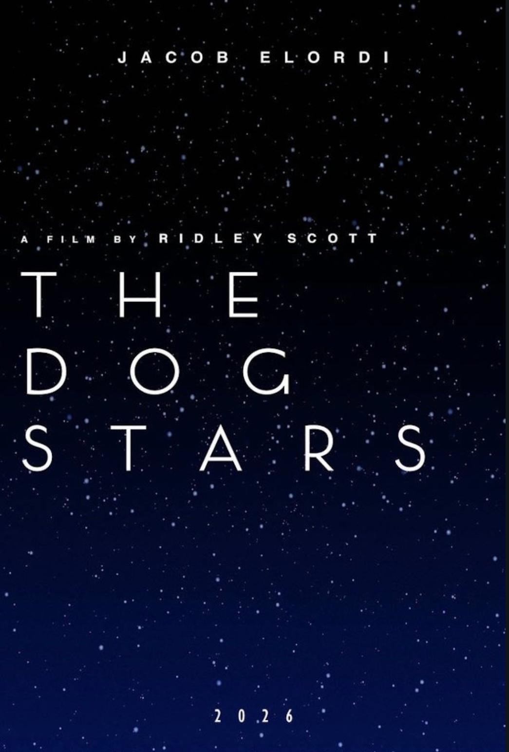
Release Date: March 27, 2026
Director: Ridley Scott
Stars: Jacob Elordi, Josh Brolin
The Dog Stars strips the apocalypse down to its bare essentials. Based on Peter Heller’s novel of the same name, the film features a screenplay by Mark L. Smith and Christopher Wilkinson, known for The Revenant and Ali. The setup of The Dog Stars is simple and bleak: a virus has erased most of humanity. What’s left is silence, abandoned airfields and roaming scavengers known as the “Reapers” who prey on the few survivors left behind.
Jacob Elordi plays Hig, a pilot living in isolation with his dog and a heavily armed companion. His days follow a strict routine, broken only by short flights in his aging Cessna. That fragile balance shatters when a distant radio signal breaks through the quiet. It’s the first real sign of life he has heard in years, and it draws him toward a journey that could change everything. Directed by Ridley Scott, the film focuses less on large-scale destruction and more on loneliness, hope and the risk of reaching out in a broken world. The result is a post-apocalyptic thriller that feels intimate, reflective and quietly tense.

Release Date: June 26, 2026
Director: Craig Gillespie
Stars: Milly Alcock, Jason Momoa, Matthias Schoenaerts
Supergirl: Woman of Tomorrow offers a very different take on the DC universe. This is a cosmic sci-fi story first, superhero film second. Kara Zor-El is older, tougher and shaped by memories of a world she lost. Unlike her cousin Superman, she remembers the destruction of Krypton clearly, and that history weighs heavily on her. The film follows Kara as she crosses paths with a young alien seeking justice, pulling her into a dangerous journey across distant worlds. Rather than focusing on Earth-saving spectacle, the story explores identity, grief and what heroism looks like far from home. With Milly Alcock stepping into the role, Supergirl 2026 aims to expand DC’s sci-fi side while giving the character emotional depth rarely seen on screen.
One reason science fiction movies stick with us is that they ask big questions in a way that feels personal. What happens when tech starts filling emotional gaps? What does survival look like when the world doesn’t bounce back? And how far would you go to save everyone you’ve ever known? If you’re looking for 2026 sci-fi movies that range from gritty to hopeful to unsettling, this lineup has you covered.